
Austin and much of Central Texas, following a summer that surprised many with its relentless heat, now appear to be entering a phase characterized by drier and warmer conditions. The National Weather Service’s Climate Prediction Center has announced a La Niña watch, indicating that conditions are becoming favorable for this climate phase to emerge later this year.
This summer, Texas experienced a series of scattered storms and intermittent rain, breaking the usual pattern of relentless heat that often results in triple-digit temperatures.
Meteorologists attribute the current conditions to a neutral phase of the El Niño-Southern Oscillation (ENSO), characterized by Pacific Ocean waters that are neither unusually warm nor cool. Forecasters are now indicating that a shift to La Niña may occur by the fall or winter months.
La Niña manifests when mighty Pacific trade winds drive warm water toward the west, resulting in the upwelling of colder, nutrient-dense water along the coasts of the Americas. The change impacts worldwide weather patterns, pushing the jet stream further north and resulting in the southern U.S., particularly Texas, experiencing warmer and drier conditions than usual.
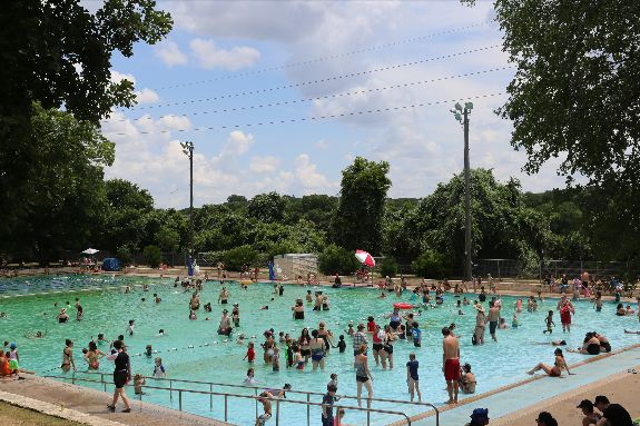
The observed pattern carries significant consequences for Central Texas. In September, Austin usually experiences average high temperatures around 91 degrees, accompanied by approximately 3.45 inches of rainfall.
As November arrives, temperatures typically drop to around 72 degrees, accompanied by nearly 3 inches of precipitation. In the context of La Niña, forecasts suggest a trend towards reduced rainfall and temperatures that may hover slightly above the norm.
The impact of La Niña extends to hurricane activity as well. NOAA reports that the calmer waters of the Pacific are leading to a decrease in vertical wind shear across the Atlantic, which in turn facilitates the organization and strengthening of tropical systems. The likelihood of increased storm activity in the Gulf of Mexico and the Caribbean is on the rise, posing a significant concern for the coastlines of Texas.
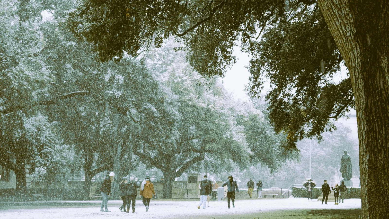
Despite this, experts warn that the La Niña phenomenon is not a guarantee against winter chill in Austin. The freeze in February 2021 occurred during a La Niña year, illustrating that Arctic outbreaks can penetrate deep into Texas despite the prevailing Pacific patterns.
As fall draws near, residents of Central Texas can anticipate a shift towards hotter and drier weather, with a notable decrease in rain opportunities compared to the summer months. The Climate Prediction Center reports that La Niña may continue through early 2026, influencing weather patterns in Texas and impacting global climate dynamics.


From breaking news to thought-provoking opinion pieces, our newsletter keeps you informed and engaged with what matters most. Subscribe today and join our community of readers staying ahead of the curve.
From breaking news to thought-provoking opinion pieces, our newsletter keeps you informed & engaged.


.png)


.jpg)