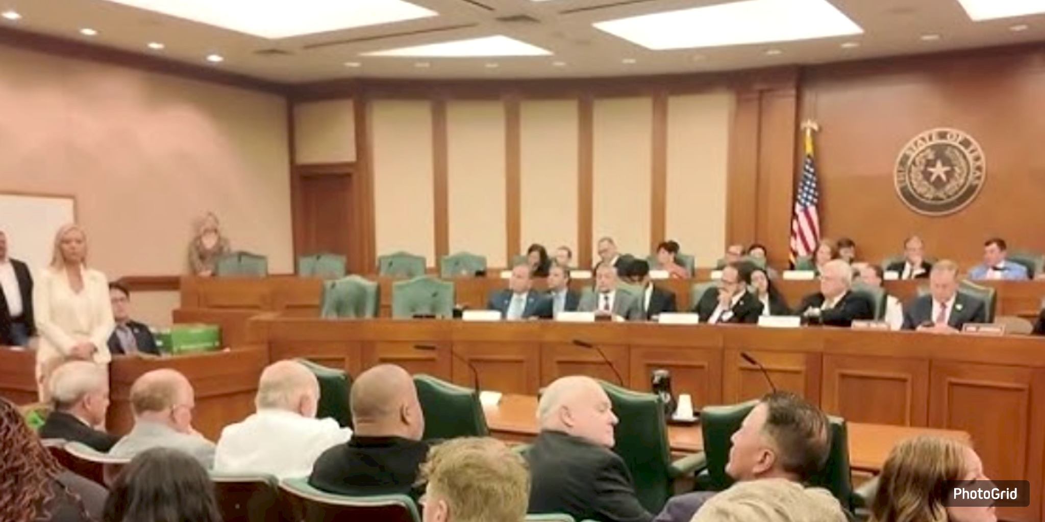
During the Austin City Council's work session on Aug. 26, the focus was on flood preparedness, with city leaders emphasizing long-term risks and recent insights gained from the catastrophic Fourth of July floods that impacted Central Texas.
Jorge Morales, the head of the city’s Watershed Protection Department, provided council members with a comprehensive overview of Austin’s flooding history and the current initiatives aimed at reducing damage. He emphasized that the city, in an area known for its susceptibility to sudden flooding, has faced perilous storms since its inception. The initial documented flood of the Colorado River occurred in 1869, and Morales emphasized that Austin’s landscape necessitates constant awareness.
“The city has made substantial investments in flood mitigation, including the construction of the Waller Creek Tunnel, which has successfully reclaimed floodplain areas and protected the community during recent storms,” Morales said.
He pointed out that infrastructure projects such as the tunnel serve as prime examples of innovative investments that have demonstrated their effectiveness amid the growing unpredictability of weather patterns.
Officials emphasized that readiness encompasses more than just building efforts. Morales highlighted the importance of community involvement, referencing the achievements of the inaugural Flood Safety Fest held earlier this year. The event, which aimed to highlight flood risks and safety measures, saw a strong turnout from the community. “These initiatives showcase that forward-thinking strategies protect lives and assets,” Morales informed the council. The city plans to host the festival annually, in conjunction with public outreach efforts aimed at preparing residents for potential future emergencies.
Revising floodplain maps remains a key focus. Council members emphasized the need to update existing maps and regulations in light of the increasing intensity of rainfall due to climate change. City officials announced that new maps are currently being developed to direct upcoming construction efforts and to prevent any increase in flood risks for established neighborhoods.
The work session highlighted that achieving flood resilience demands more than just infrastructure and planning; it also necessitates a well-informed and actively involved public. Authorities highlighted the importance of ensuring both prompt preparedness and sustainable plans for the future.
“As climate change makes these events more frequent and severe, our responsibility is to make sure residents are not only aware of the risks but prepared to respond,” Morales said.
City leaders framed flood preparedness as a critical priority for public safety, pledging to continue refining policies, updating infrastructure, and engaging the community to reduce risks in the years ahead.


From breaking news to thought-provoking opinion pieces, our newsletter keeps you informed and engaged with what matters most. Subscribe today and join our community of readers staying ahead of the curve.